Geological Mapping
In conjunction with field rock chipping and soil sampling programs, geological mapping can be conducted with a focus on target mineralisation, alteration, structures, and stratigraphy, enhancing geological understanding of the area.
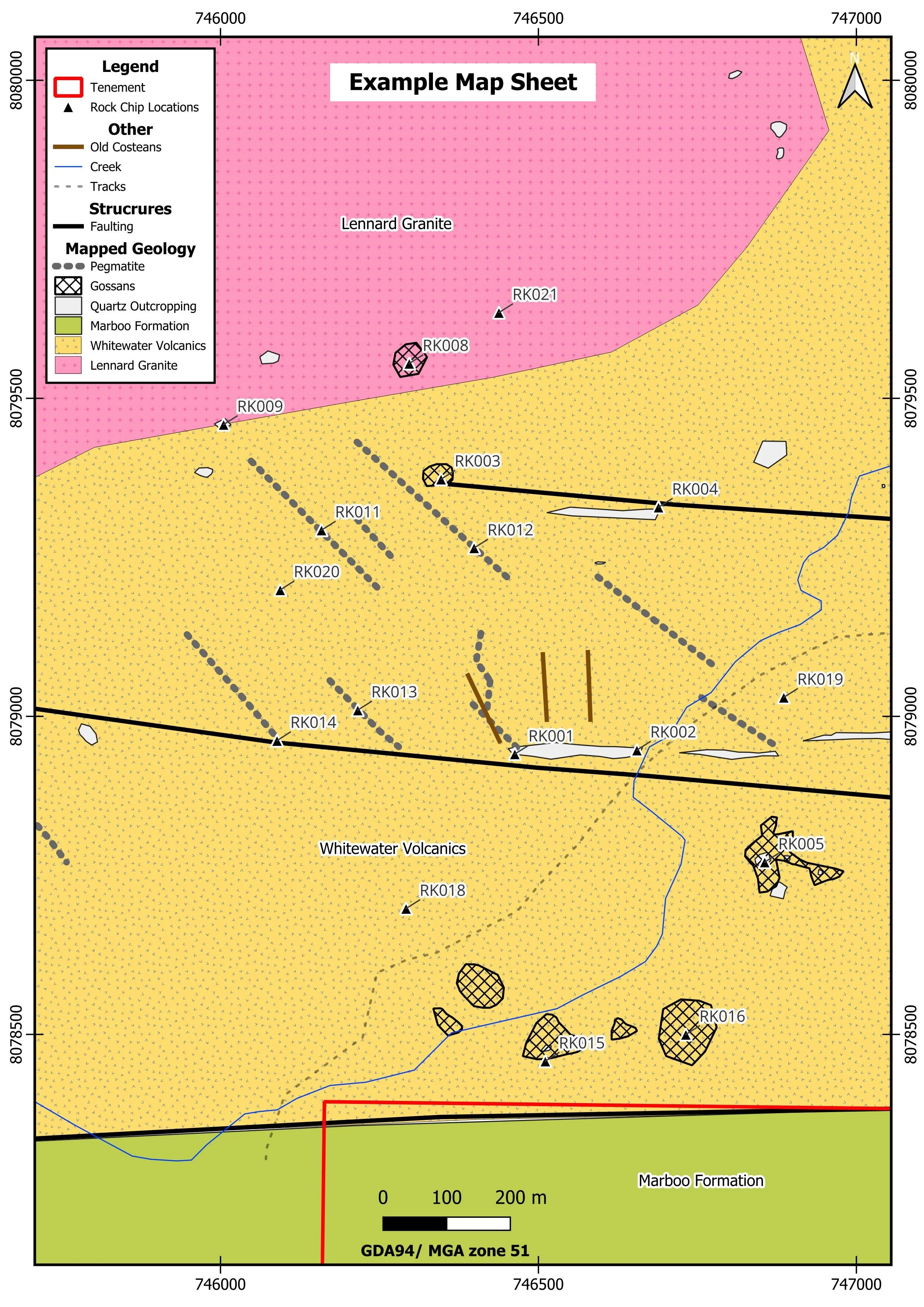
Mapped outcrops will be presented as a digitised QGIS layer file, similar in style to the example shown below. Mapping, rock chips and soil samples can be overlain onto Google Satellite and high-resolution drone imagery.