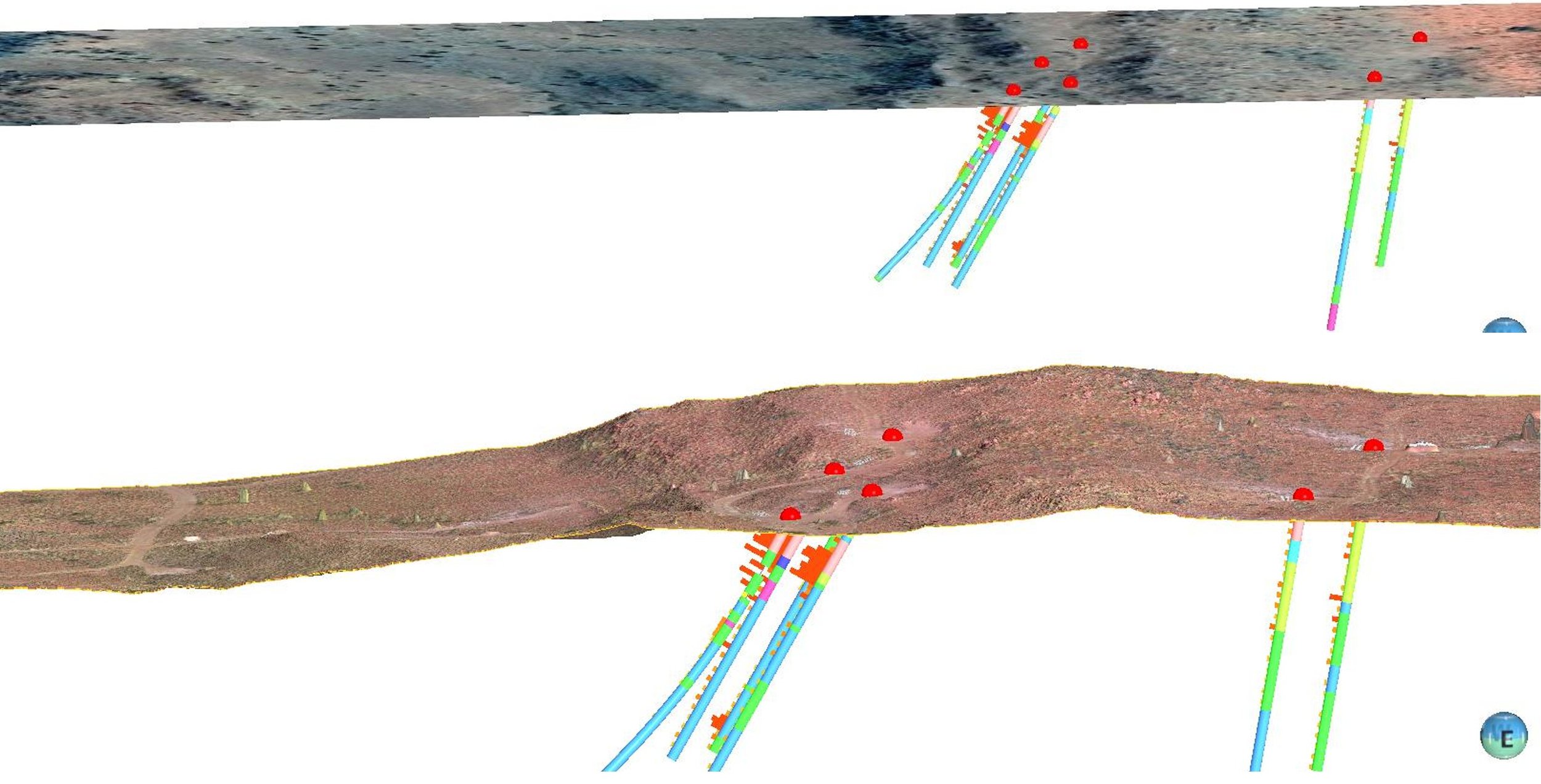
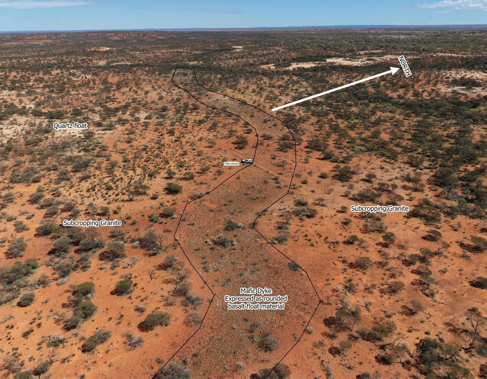
Dingo Prospecting often use drone photography to assist with early-stage exploration, particularly for mapping geological features, structural trends and areas of interest that may not be easily recognised from ground level.
Drone Exploration Mapping


Ideal for
Planning drill pads
Planning access tracks
Heritage surveys
Locating outcrop and interpreting structures
Showing more accurate elevation changes
Recording ground disturbance and environmental data
Avenza, QGIS, Leapfrog and similar GIS software
Printed Maps
Cross validation of recorded drill hole locations with up to date imagery
Identifying pads not drilled or made
ASX announcements
Showing Clients